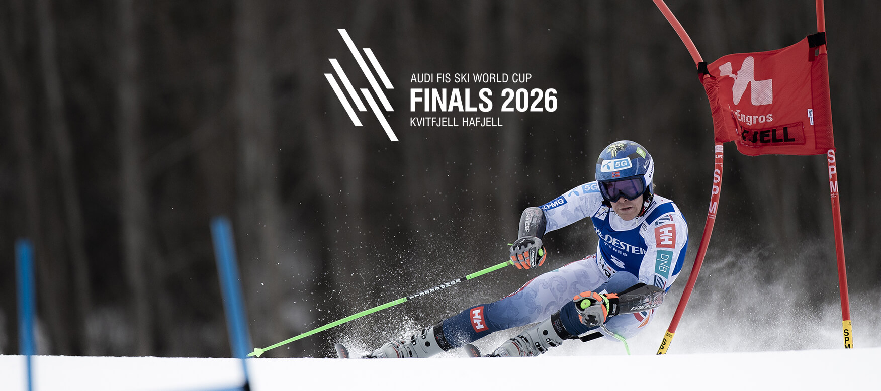
WORLD CUP KVITFJELL & HAFJELL
19–25 March 2026
4 min read
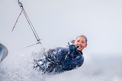
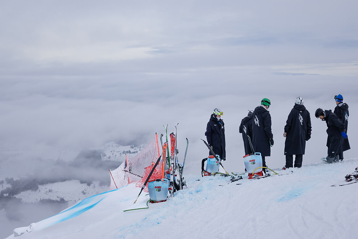
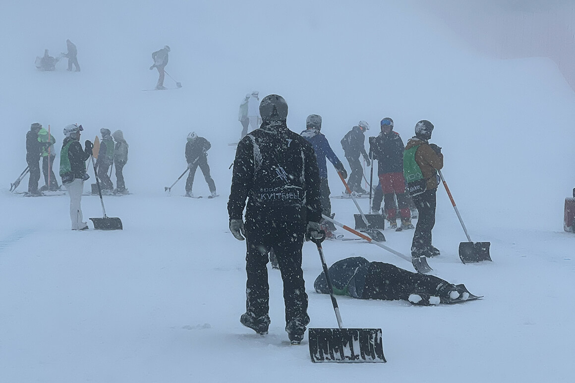
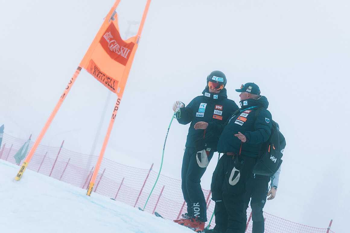
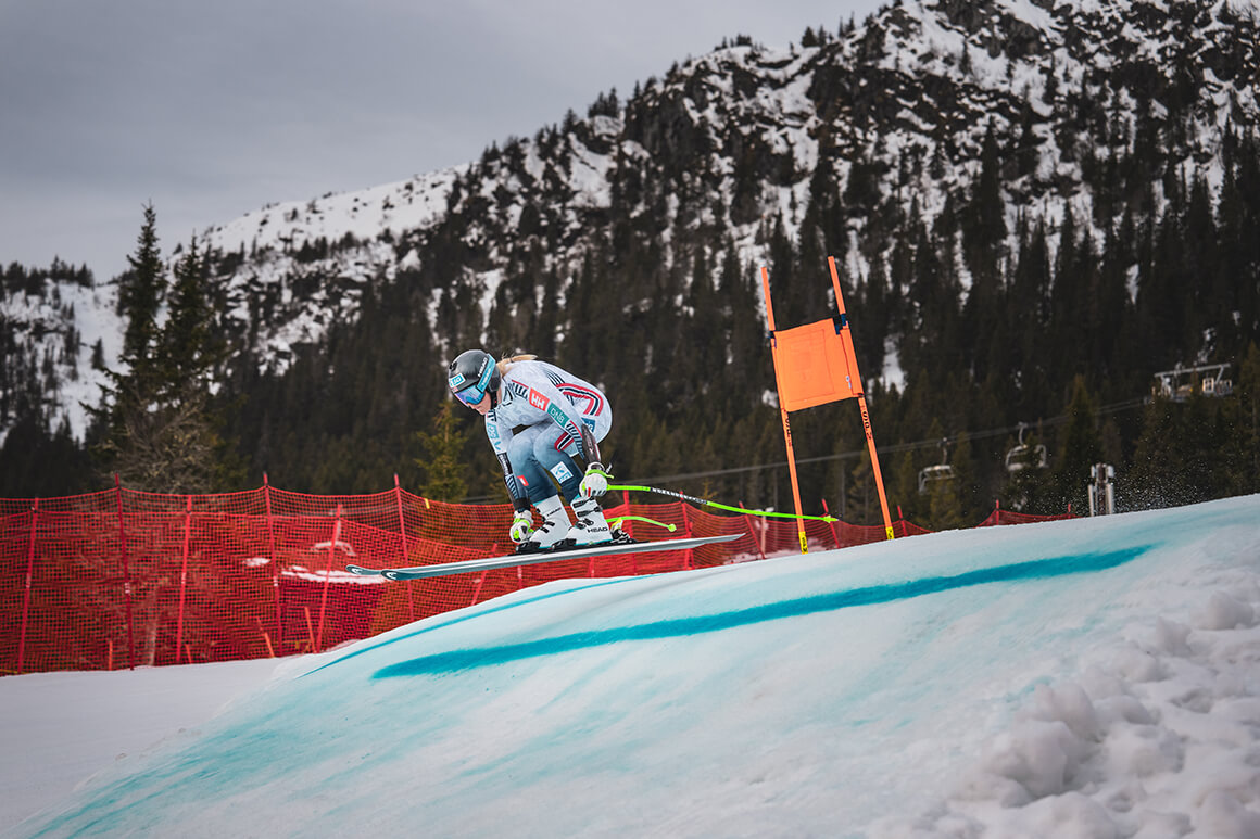
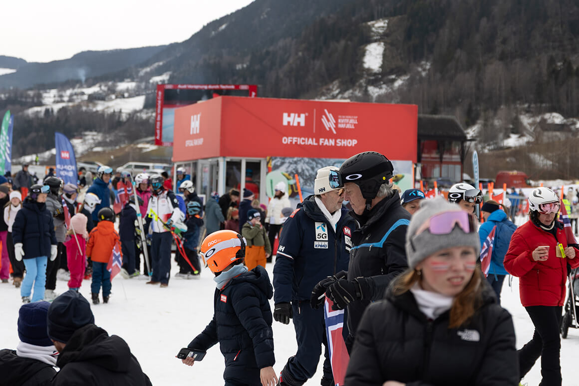
As a proud partner of the World Cup races at Kvitfjell and Hafjell, we are excited to witness the world’s top male and female racers in what many consider a highlight of the season. Kvitfjell’s iconic speed races will once again test the limits of skill and precision, while Hafjell hosts the technical disciplines.
Join the festive atmosphere and experience the ultimate showdown of alpine skiing at the FIS Ski World Cup Finals. Feel the adrenaline as the world’s top athletes race down the iconic Olympiabakken while thousands of fans cheer them on. It's a chase for glory, split-second victories, and the prestigious crystal globes.
Schedule 2026
Kvitfjell
Saturday 21 March
10:45 Men’s Downhill / 12:30 Women’s Downhill
Sunday 22 March
10:45 Women’s Super-G / 12:30 Men’s Super-G
Hafjell
Tuesday 24 March
Run 1: 09:30 Men’s Giant Slalom / 10:30 Women’s Slalom
Run 2: 12:30 Men’s Giant Slalom / 13:30 Women’s Slalom
Wednesday 25 March
Run 1: 09:30 Women’s Giant Slalom / 10:30 Men’s Slalom
Run 2: 12:30 Women’s Giant Slalom / 13:30 Men’s Slalom
*Award ceremony after the final race all days
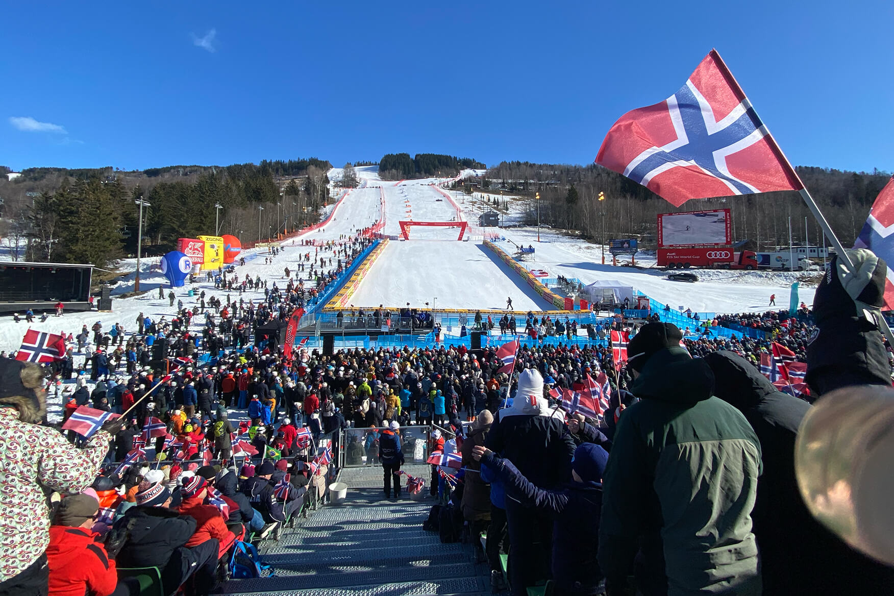
Every racer wants to have that experience and see their home flag waving in the finish area. It's a feeling I'm looking extremely forward to.
AN INSIDER'S GUIDE TO THE KVITFJELL RACE
Become a Kvitfjell quiz master with this rundown of the racecourse's historical names.
KVITFJELL derives its name from the light peak about 600 m northwest of the starting point. This peak contains quartzite, which gives it its rather conspicuous white color. Elevation 1044 m.
KVITFJELLEGGEN – THE KVITFJELL EDGE (elevation 1027 m)
This is the starting point of the course. The elevation of the start-house is 1020 m. The mountain in front of the starting point has the form of a knife-edge.
GAUPEREKSLA – THE LYNX PATH (elevation 1020–900 m)
The distance from the starting point down to the first right turn is called the Lynx Path. The name indicates the passage of wild animals across the course.
ORRESVINGEN – THE BLACK GROUSE (elevation 900 m)
During the work on the course, black grouses were observed on several occasions in the slope near the start of the women's downhill.
WINTHERHOGGET – WINTHER’S CUT (elevation 870-810 m)
More than anybody else the former Mayor of Ringebu, Mr. Erik S. Winther, has become identified with Kvitfjell. In the autumn of 1990 the Royal Ministry of Culture imposed a halt on the Kvitfjell development project. Mr. Winther and the Municipal Council of Ringebu defied this decision and continued deforestation. This became front-page news in the national media, who called the Mayor the “Chopper from Ringebu”. Winther’s Cut was a reality. This part of the course is also very difficult and demanding, with a decline of 64%.
SLETTEN – THE PLAIN (elevation 870-700 m)
This is the only part of the course where the racers have a few seconds of rest. This stretch lies between the very demanding Wintherhogget (Winther’s Cut) and the no less exacting Russi Jump. Popularly this area is called “The Final Rest”. The area also derives its name from the person who first suggested that Kvitfjell should be used for men’s downhill, Mr. Arild Sletten.
RUSSISPRANGET – THE RUSSI JUMP (elevation 700-645 m)
The Russi Jump is the steep just below the second measurement point for intermediate time, where jumps of 70-80 meters are not unusual. Based on the natural terrain Mr. Bernhard Russi has designed a world-class course and consented to lend his name to it.
MYRLIHALSEN – THE MYRLI THROAT (elevation 640 m)
The transition from the plain below the Russi Jump into the steep forest area is called Myrlihalsen – The Myrli Throat - by local people, and forms a narrow entrance to the Elk Traverse.
ELGTRAVERSEN – THE ELK TRAVERSE (elevation 640-580 m)
This area is abounding in elk and other fauna. An elk track is passing here.
BUKKERITTET – THE BUCKRIDE (elevation 500-440 m.o.h.)
The Buckride is an uneven traversing that will give the racer the feeling of riding a wild buck, as described by Ibsen in «Peer Gynt»: «Either side, if you look downwards, over glacier, scar and hillside, you can see, across the ash-grey scree, deep into brooding waters dark asleep - and more than thirteen hundred yards below! All the ridge’s length, we two cut our way against the wind. Such a colt I never rode! There in mid-air straight before us seemed to hang the blazing sun. Halfway down towards the waters tawny backs of eagles hovered through the wide and dizzy void, till they swung like specks behind us.» (Excerpt from the «Buckride» of Ibsen’s Peer Gynt» translated by Peter Watts.)
S-SVINGEN – THE S-TURN (elevation 580-500 m)
From old times a footpath of this shape has run through this area, and therefore we have chosen to keep the original name.
BØYGEN – THE BOYG (elevation 440-390 m)
After Peer Gynt has escaped the Mountain King and the Young Trolls he meets the Boyg (Snag): “Peer Gynt: Backwards or forwards it’s just as far, out or in, it’s just as narrow. He’s here, he’s there, he’s all about me! When I’m sure that I’m out, then I’m back in the middle! What’s your name? Let me see you! What sort og thing are you! The Voice: The Boyg.” (Excerpt from Ibsen’s “Peer Gynt”)
LØFTET – THE LIFT (elevation 310 m)
Describes the edge above the steep in the final part of the course. Løftet – The Lift – is a name used by local people for generations. Often horse carts with hayloads etc. got stuck here.
KLEMMA – THE CLAMP (elevation 270 m)
This is a local name based on the form of the landscape. For the racers, this is a very narrow passage with strong compression.
TUNNELHOPPET – THE TUNNEL JUMP (elevation 230 m)
Jump after transition from the public road.
MÆHLUMSGEILEN – THE MÆHLUM DROVE WAY (elevation 230-184 m)
“Geile” is the local word indicating a road with fences on both sides. Mæhlum is the name of the nearest farm, owned by Mr. Gunnar Fretheim.
MÅLHOPPET – THE FINISH JUMP (elevation 190 m)
Describes the crossing over the railway line and the final steep before the finish.
May 05, 2026 3 min read
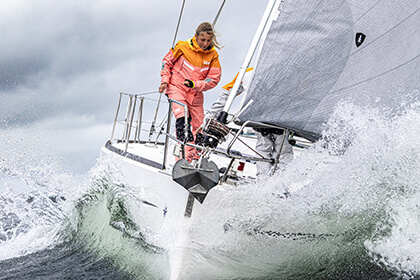
Skagen – An Iconic Race and a Collection to Match
Discover the history of the Skagen Offshore Race and explore Helly Hansen's Skagen Collection, built with decades of insights from working with professional sailors.
May 05, 2026 3 min read
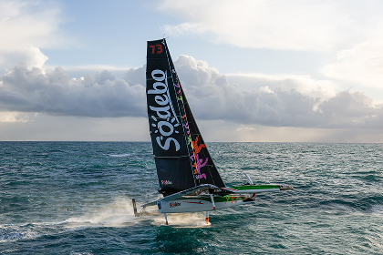
Around the World in 40 Days, Thomas Coville Breaks Records
In just 40 days, 10 hours, 45 minutes, and 50 seconds, Helly Hansen’s ambassador Thomas Coville and the Sodebo Ultim 3 crew set a new nonstop around‑the‑world sailing record. Here’s how we supported the team through the most extreme conditions on the planet.